

Operation and Maintenance of AIS Equipment Assessment Practice Questions
Full Text Coverage - Valuation Practice Cross Reference Edition
I. Brief description of contents
(i) Assessment missions:Proper operation and maintenance of AIS equipment.
(ii) Assessment of implementation:
- 1. Assessment modalities:Use the AIS real machine or simulator for evaluation.
- 2. Description of the mission (scenario):Operation and maintenance of AIS.
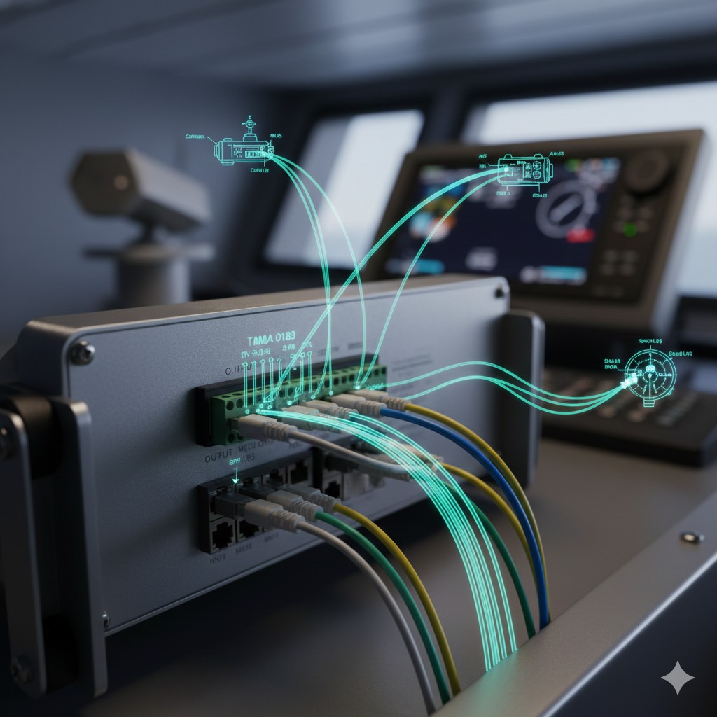
- 3. Assessment procedures:(1) Basic operation of AIS: self-testing, viewing static and dynamic data and interpreting them; (2) AIS input/output interface settings; (3) AIS connection with other devices.
- 4. Assessment of requirements:(1) Basic operation of AIS; (2) AIS input/output interface setting; (3) AIS input signal viewing: external GNSS receiver signal and compass signal; output signal to radar, ECDIS or VDR and other devices.
- 5. Cluster approach:Complete the operation individually. 6. Time for assessment:No more than 10min.
(iii) Elements of assessment and assessment criteria
1. Element of assessment No. 1: Basic AIS operation
Elements: Normal power-up and self-test; view static/dynamic data and interpret.
Criteria: Proper switching on and off and self-testing; static data viewing and setup; dynamic data viewing and setup.
Elements: Normal power-up and self-test; view static/dynamic data and interpret.
Criteria: Proper switching on and off and self-testing; static data viewing and setup; dynamic data viewing and setup.
2. Element 2 of the assessment: AIS signaling test
Elements: CPA Alarm test (comparing radar targets); simulated faults to observe alarm consistency.
Criteria: Can perform CPA alarm test; Judgement to disconnect GNSS/rodeo signal; Judgement to disconnect radar output signal.
Elements: CPA Alarm test (comparing radar targets); simulated faults to observe alarm consistency.
Criteria: Can perform CPA alarm test; Judgement to disconnect GNSS/rodeo signal; Judgement to disconnect radar output signal.
3. Element of assessment No. 3: AIS connectivity to other equipment
Elements: input signal; output signal.
Criteria: Detection of signals using a multimeter or software; ability to access GNSS/rodeo signals; ability to access signals to equipment such as radar/VDR.
Elements: input signal; output signal.
Criteria: Detection of signals using a multimeter or software; ability to access GNSS/rodeo signals; ability to access signals to equipment such as radar/VDR.
II. Methods of operation
Note: The first evaluation element is presented here as an example.
AIS Equipment Use, Operation and Maintenance Hands-on Score Sheet
Candidate's name: ________________
Evaluation time: 10 minutes
Total points: 100
Evaluation time: 10 minutes
Total points: 100
| Elements of assessment | Operational Standards and Key Points | value of a score | score |
|---|---|---|---|
| basic operation (30 points) |
Perform the power-on self-test (MONITOR TEST / TRANSPONDER TEST) correctly. | 10 | |
| View and accurately interpret the ship's static and dynamic data (MMSI, L/L, COG, etc.) | 10 | ||
| Correctly set/modify vessel information (vessel name, call sign, antenna size A/B/C/D) | 10 | ||
| signal testing (30 points) |
Configure CPA/TCPA alarm thresholds and verify synchronized comparisons on the radar | 15 | |
| Analog Sensor (GNSS/Rodometer) Loss, Identify Alarm Message Consistency | 15 | ||
| Interfaces and Connections (40 points - critical) |
Set the I/O port mode (SENSOR / EXT DISPLAY) and rate (4800/38.4k). | 20 | |
| Measure the NMEA signal level with a multimeter (observe 0.5~1.5V swing). | 20 |
Note: Time-outs, incorrect operation of key elements, or incorrect selection of multimeter settings will directly result in failure of this assessment.







 Chinese
  English
  Korean
  Japanese
  Thai
Thai  Arabic
  Spanish
  Russian
  Vietnamese
  Indonesian


