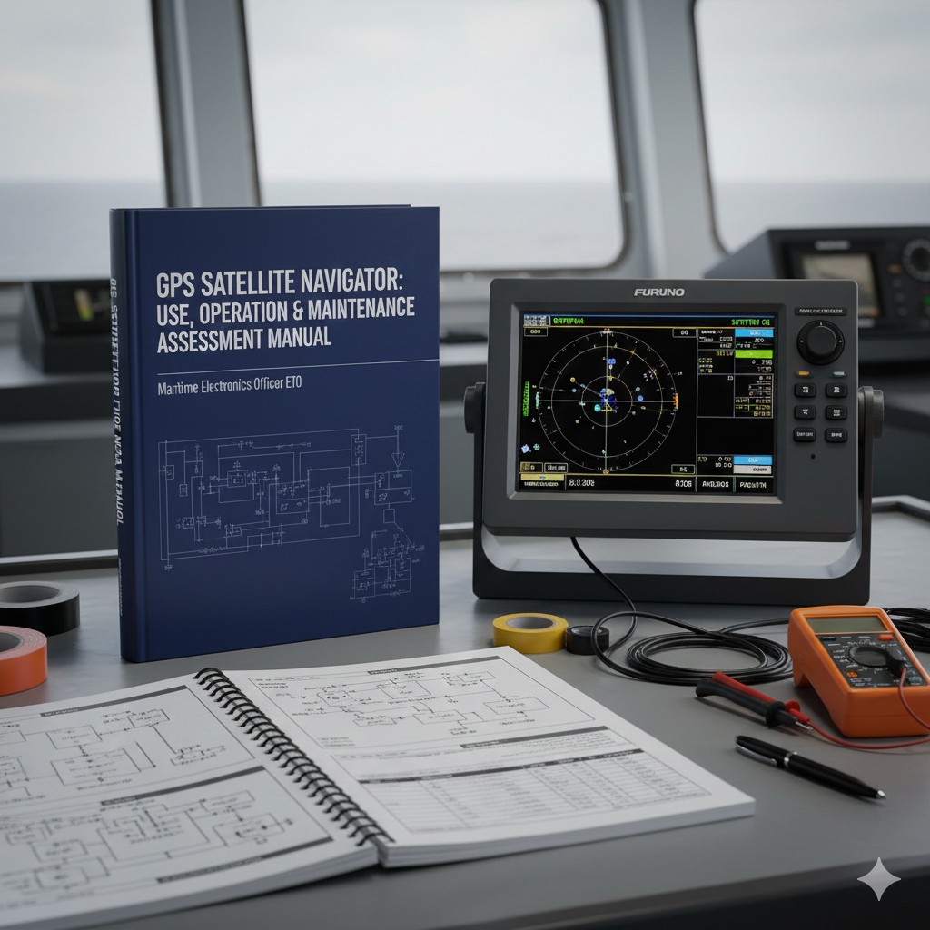
Evaluation Manual for the Use, Operation and Maintenance of GPS Satellite Navigators
I. Brief description of contents
(i) Assessment missions
Proper operation and maintenance of GPS satnavs.
(ii) Assessment of implementation
1. Assessment modalities:Select a certain model of GPS Satellite Navigator to turn on and locate normally.
2. Description of the mission (scenario):Operation and maintenance of GPS satellite navigators.
3. Assessment procedures:(1) Basic operation of GPS satellite navigator; (2) Interface setting; (3) Connection with other devices.
4. Assessment of requirements:Normal positioning; basic operation; port setup and smooth signaling to other devices.
5. Breakout groups and timing:Done individually; no more than 10min.
(iii) Elements and criteria for assessment
- 1. Basic operations:Switch on and off the machine correctly; determine if it is accurately positioned.
- 2. Interface settings:Set up NEMA 0183/2000 or RS-232/422 output ports; interpret important statements: GLL, ZDA, etc.
- 3. Equipment connection:Access to signal amplifiers; provide signals through amplifiers for radar, AIS, depth sounder, C-ship stations, VHF and MF/HF DSCs, etc.; detect signals using multimeters or software.
II. Methods of operation
GPS Satellite Navigator Evaluation Practice Pocket Guide
ETO Assessment Quick Check - Operating Procedures - 100% Detail Retention
1. Rapid determination of positioning status (assessment item 1)
| Show Icons | Assessment of the meaning of the determination |
|---|---|
| 3D / D3D | Three-dimensional positioning (4+ stars) in optimal condition. |
| 2D / D2D | 2D positioning (3 stars), highly unreliable only. |
| NO FIX | Not localized, need to check antenna, masking or EM shielding. |
| DOP | Precision exceeds limits (PDOP>6 or HDOP>4). |
2. I/O Interface Setup Flow (Evaluation Item 2)
Path: MENU → 7 I/O → 1 Output Data 1
● Talker. Auto (SOLAS ships) or GP/GN
● BPS. 4800 (Standard) / 38400 (High Speed)
NMEA statement shorthand: GLL (coordinates), ZDA (time), VTG (velocity), GGA (full volume positioning), RMC (minimum data).
3. Connection and testing key points (Assessment 3)
- Physical wiring: RS-232 (<15m) or RS-422 (long range) to ensure shielding is intact.
- Signal Measurement: Using a multimeter DC 5V Block Measure the NMEA output.
- Normal phenomenon: The pointer/reading is at 0.5V to 1.5V Regular oscillations between.
- Data reconciliation: Check that the latitude and longitude displayed by the radar and AIS are synchronized with the GPS host.
💡 Assessing Emergencies Tips
- Display the DEMO: Turning off the power → Press and hold [NU/CU ENT] → Power on recovery.
- The load is too high: Ensure that the output load factor is < 100% (reduce non-essential statements).
- Antenna alarm: Check for rusted BNC/TNC connectors or broken cables.
Code of Practice for Marine Electrical and Electronic Operators | Revised 2026
GPS Satellite Navigator Hands-on Evaluation Simulation Score Sheet
Suitable for: Ship's Electrical and Electronic Operator (ETO) | Assessment Duration: 10min | Total Marks: 100
Element 1: Basic Operations and Positioning Judgment (30 marks)
| Assessment rules and standard actions | value of a score | score |
|---|---|---|
| 1.1 Switch on and off correctly: Press the Power key and observe the hardware self-test prompt (SYSTEM OK) on the screen. | 10 | |
| 1.2 Status determination: Be able to accurately state the meaning of 2D, 3D, D3D positioning modes and the number of stars required. | 10 | |
| 1.3 Exception Handling: Identify the cause of a DOP warning; demonstrate how to exit demo (DEMO) mode. | 10 |
[Image of Furuno GP-170 hardware diagnostic screen showing self-test status]
Element 2: Interface Setup and Interpretation of Statements (30 marks)
| Assessment rules and standard actions | value of a score | score |
|---|---|---|
| 2.1 Port Setting: Successfully enter the I/O menu and set Talker (Auto/GP) and Baud Rate (4800/38400). | 15 | |
| 2.2 Interpretation of Statements: Be able to explain orally the function of GLL, ZDA, GGA, RMC, VTG statements. | 10 | |
| 2.3 Load Limit: Specify that the load factor must be kept below 100% for TX interval setting. | 5 |
[Image of a digital bridge console showing GPS data integration on an ECDIS screen]
Element 3: Device Connectivity and Signal Detection (40 points - key item)
| Assessment rules and standard actions | value of a score | score |
|---|---|---|
| 3.1 Physical Wiring: Connect the GPS to the signal amplifier, making sure the shield is grounded and the connections are not loose. | 15 | |
| 3.2 Signal Measurement: Using a multimeter with a DC voltage step, the signal is observed to oscillate within the range of 0.5 to 1.5V. | 15 | |
| 3.3 Synchronization: Confirmation on the radar/AIS side that the read coordinates are identical to the GPS host data. | 10 |
[Image of a marine technician using a multimeter to check NMEA 0183 output at a terminal block]


